*.cgl FILES
CGL files are container files used by the simulation to hold compressed imagery, elevation, and/or vector data. The data is stored following a quadtree scheme, based on a mercator projection of the Earth, which is explained full from the following link:
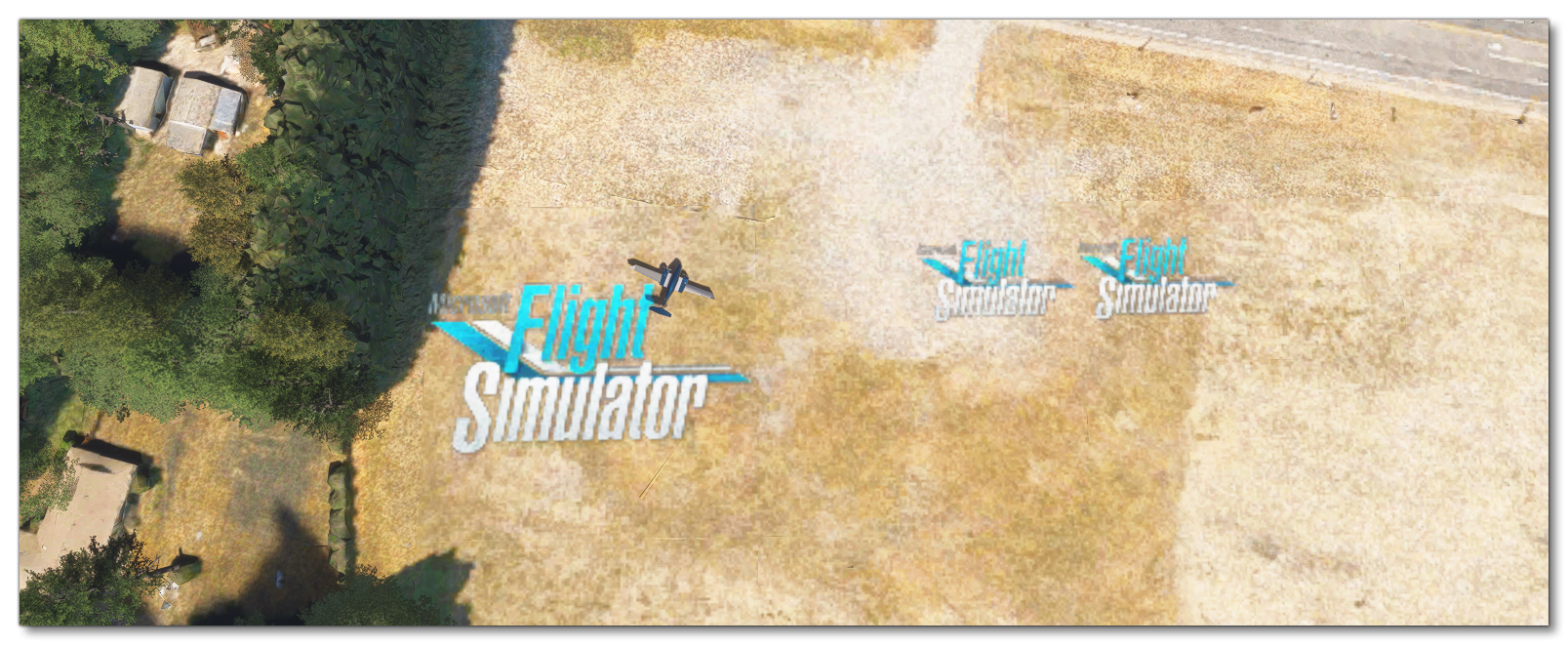
In general, CGL files are internal to the simulation and you don't add or make them yourself. However, it is possible to modify the simulation CGL images used for terrain, as illustrated in the SimpleAerial sample project, and add in your own overlays on the base terrain textures. For this to work, you will need to create a number of PNG format images (named with the quadtree key to identify the location where they are to be used) and then use the CGL Asset Type in The Project Editor to create packages with compiled CGLs. These CGL assets also require an XML file as part of the configuration, and you can find information on this here:
Aerial Image Format
Aerial image files are created at a very high map LOD level (LOD20), which has the following approximate values:
| Level of Detail | Map Width and Height (pixels) | Ground Resolution (meters / pixel) | Map Scale (at 96 dpi) |
|---|---|---|---|
| 20 | 268,435,456 | 0.1493 | 1 : 564.25 |
NOTE: You can find full details of the different LOD values as well as other things related to how map tiles are calculated here.
All image files for aerial images should be authored as 16bit PNG with a fixed size of 256x256px, and the build process will automatically generate the images for the lower levels of detail as part of the generated CGL file. Note that the alpha channel of the provided aerial image PNG is used to blend between the image and the in-game aerial, where a pixel with alpha 0 means the in-game aerial pixel is used, and 1 means the provided aerial pixel is used. Any value in-between will create a linear interpolation between the in-game aerial and the provided aerial.

Related Topics